Preserving grit
The Vidal Historical Society
Archiving the story of a desiccated crossroad — a desert where a legendary lawman sought fortune, an aqueduct rose from jagged rock, and a million soldiers trained for war.
Our Purpose
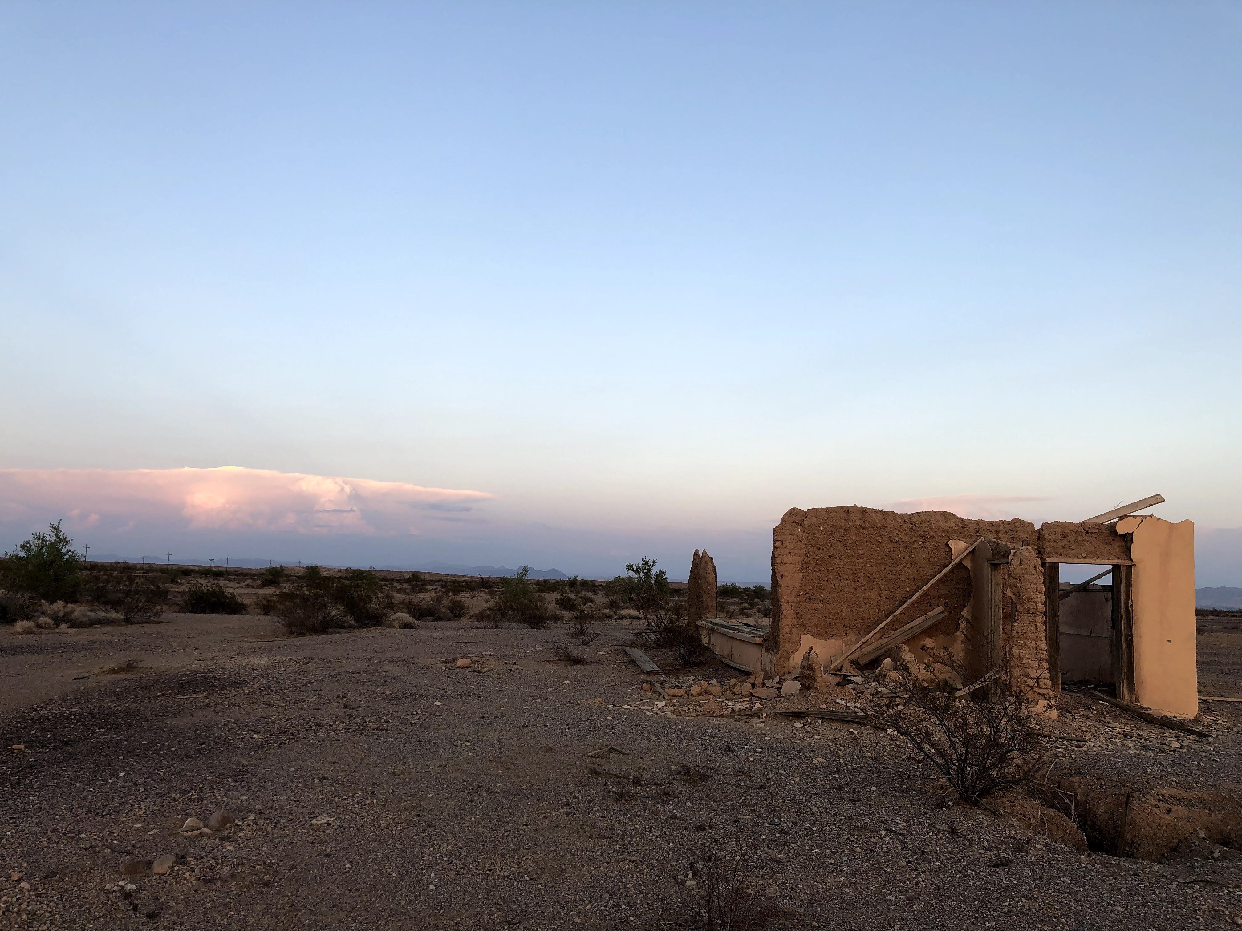
Gathering the weathered remnants of a stark frontier
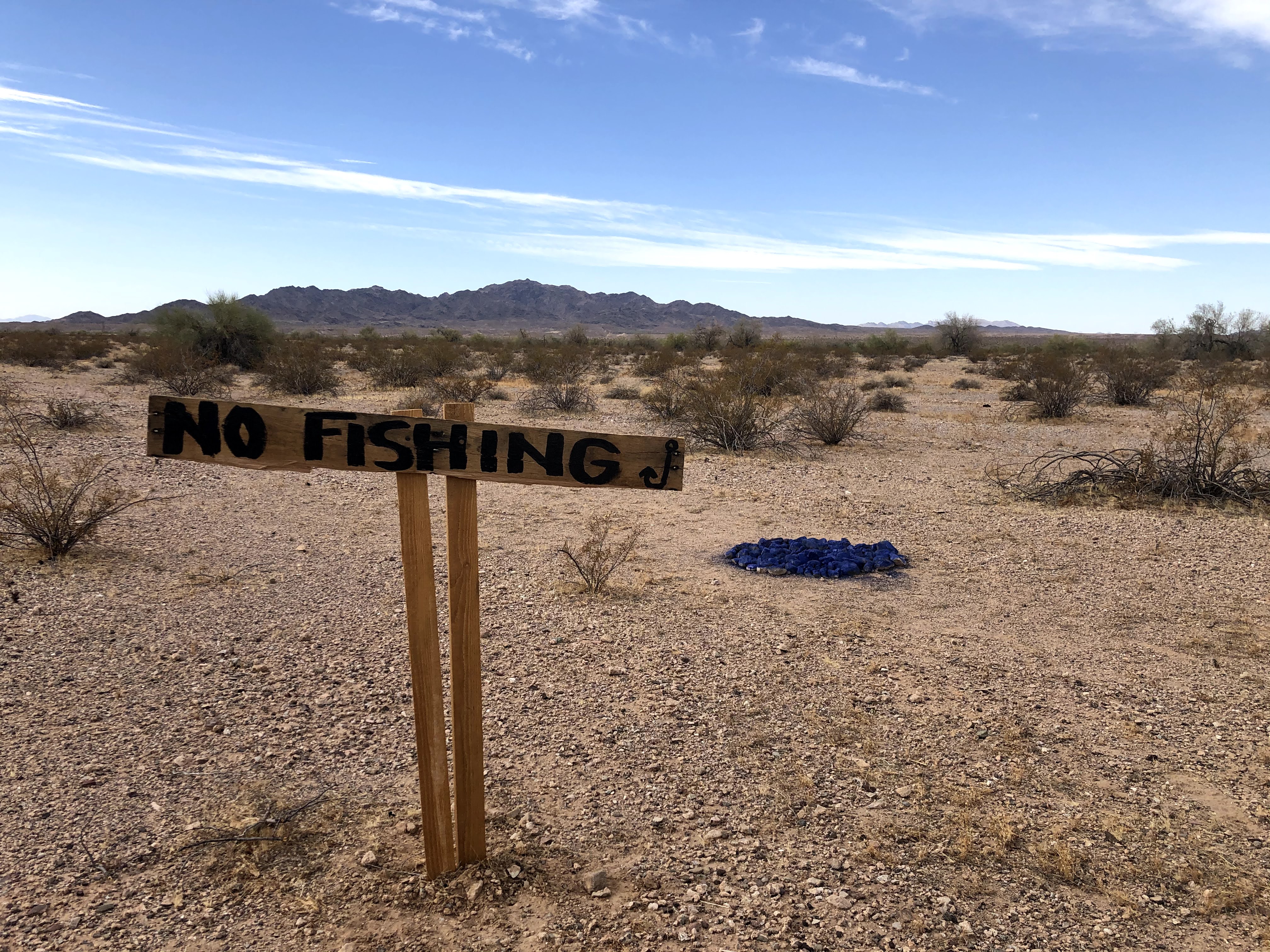
Vidal is an unincorporated community in San Bernardino County, set where U.S. Highway 95 and the railroad cross the eastern Mojave just west of the Colorado River. Home today to only a handful of residents, this quiet crossroad has, again and again, drawn the currents of American history to its bare expanse of rock and creosote.
Beneath these human histories lies a slower record. In 1979, geologists dated carbonate in selected Vidal Valley soils to an average of about 83,000 years old, tracing a landscape shaped by shifting rivers and climates. That date belongs to the soil carbonate—not to human occupation—and gives the stories that follow a much older setting.
The Vidal Historical Society exists to gather, verify, and preserve these threads — from the Chemehuevi and Mojave peoples who crossed and camped on this ground for thousands of years, through the frontier and the mining camps, the great public works of the West, and the largest military training ground ever assembled, to the darker chapters that unfolded far from the public eye. We work from the record: land surveys, court transcripts, county ledgers, archaeological reports, and the weathered remnants still resting in the desert today.
Our mission is to let this landscape breathe and to let its history speak plainly, so that a place so easily overlooked is never forgotten.
Digital Archive
A long history, written in layers
Each collection is drawn from the historical record. Follow a card to read the full essay and the sources behind it.
 Time immemorial – 1770s
The Chemehuevi Homeland
Centuries before Vidal had a name, this desert and river country was the homeland of the Chemehuevi — Nüwüvi, "The People" — the southernmost branch of the Southern Paiute. They ranged from the Colorado River to the Tehachapi Mountains, farmed the river's floodplain in the Chemehuevi Valley beside Vidal, gathered mesquite and pinyon from the open desert, and wove some of the finest baskets in the Southwest. Their trails, songs, and place-names mapped this land long before the first outsiders arrived.
Read the full history 1921 – 1929
Wyatt Earp at Vidal: Claims, Home, and Legend
A 1921 letter from Vidal catches Wyatt Earp weighing land and mining deals; a 1927 letter in Josephine’s hand shows the couple protecting his account from legend. Between them lies the story of the prospector, home, and contested memory that shaped Earp’s last years here.
Read the full history 1933 – 1939
The Colorado River Aqueduct Boom
To carry water 242 miles across an unsettled expanse, the Metropolitan Water District built entire temporary townsite camps for thousands of laborers, transforming Vidal into an instant, high-density hub. When Prohibition ended, the corridor's nightlife exploded — and so did its friction.
Read the full history 1942 – 1944
Patton's Desert Training Center
In March 1942, General George S. Patton Jr. chose the country around Vidal for the Desert Training Center — a Spartan proving ground that grew into an 18,000-square-mile simulated theater of war across California, Arizona, and Nevada. More than a million troops trained here for the North African campaign, and their rock-lined camps and altars still rest in the sand today.
Read the full history 1969 – 1981
The Solar Ranch Case
In the summer of 1969, deputies raided the Solar Ranch near Vidal — the desert compound of the Solar Lodge of the Ordo Templi Orientis (O.T.O.), a group founded on the writings of Aleister Crowley and led by Jean and Richard Brayton. The discovery of six-year-old Anthony Gibbons confined in a wooden box, chained and fed only bread and water, triggered a national sensation, felony and misdemeanor child-abuse convictions, and an eighteen-month manhunt for the Braytons.
Read the full history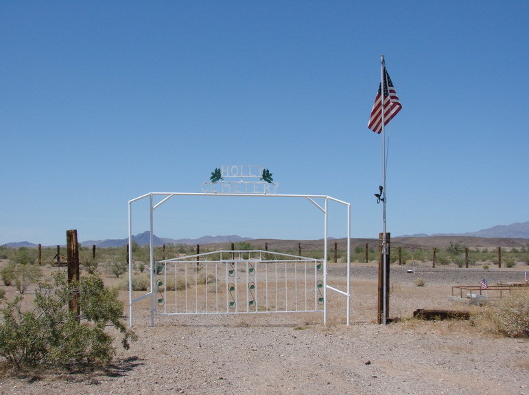
Holly Cemetery
Remember the merchants, veterans, performers, and early residents resting in Vidal's remote desert cemetery. A place in the historical record, beyond the town's eras.
Read the memorialsReading Rooms
Three archives of the primary record
Beyond the featured histories, the society keeps three open reading rooms — the press that reported Vidal, the deeds and surveys that defined its ground, and the films that captured it on screen.
Vidal in the News
A century of California headlines that named this desert crossroad — from the railroad frontier and the aqueduct boom to the Solar Lodge affair — each clipping linked to its full, unedited page.
Open the newspaper archiveVidal Land Records
Who has held the ground beneath Vidal: original surveys, Colorado River withdrawals, homestead and mineral patents, and modern land-use orders — with an essay on the land's ownership history.
Explore the land recordsVidal on the Screen
Films that used the crossroad as a location — beginning with Antonioni's Zabriskie Point (1970), shot in part at the Solar Lodge's desert cafe — each paired with a note on where Vidal appears on screen.
Watch Vidal on film